Posts

Neika Cliffs

Image
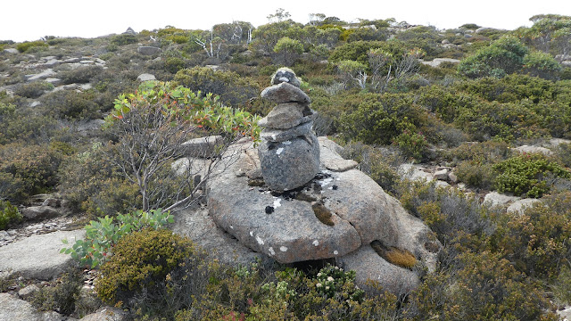
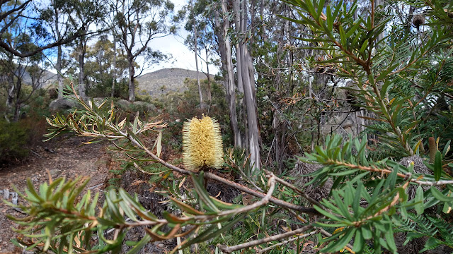
 Tuesday 16 April 2024 Because it was drizzly on top of kunanyi we stayed low instead of going to Thark Ridge.   From the Springs the walk used Reids Track to the Pipeline Track and once near the cliffs, which I refer to as Neika Cliffs, we ascended the steep slope.    Once there we walked along the eastern facing cliffs then explored the northern side, which extended much further. At the end of the eastern side some ascended to the top and although ribbons were noticed we didn’t follow them.   On rereading the climber's website   it did lead on to another cliff line and another above that. Base of cliff Cliff face Yellow lichen Elbow tree. A photo album can be viewed by clicking here or from the image below. Neika Cliffs

Cathedral Rock

Image
Tuesday 9 April 2024 Ridgeline to Montagu Thumbs and Mount Montagu and Collins Bonnet in distance One of the reasons for this walk was to check if some confusing track points have developed. Initially the track is close to the North West Bay River, but it eventually climbs in zig zag fashion up an old fire trail to reach the junction with the track to Cathedral Rock. This latter part is steep but the final push to the summit even more so. The only noticeable thing that we thought could cause confusion was the turnoff from the old fire trail which now didn’t have a marker. All up the actual return walking time was about 4 hours and elapsed time of 5:30 for the 10k walk.      Woodland beside the North West Bay River   Scree and Snake Plains on right    A photo album is online at this link or click image below   Cathedral Rock     Track profile   Note that time is longer than the rest of the party as I diverted to check on a weed site. The rest time is not available as the profile

The Acropolis

Image
 Saturday 16 - Monday 18  March 2024 The plateau before the summit climb to The Acropolis was even lovelier than my memory.   It was such a calm, sunny day making conditions absolutely ideal in this pine studded area. On the day walking in I mistakenly went further than planned and had to backtrack to the campsite. The middle day was the summit one and required a 220 metre climb to the plateau and then a further 340 metres to the summit.  That final rock face scramble was harder than remembered.  We had the top to ourselves, and it was only when part way back to the plateau that other walkers were encountered. I found the whole walk fabulous and enjoyable, especially on the Acropolis day. Mount Gould and the Minotaur from Acropolis plateau The Acropolis Snowgum trunk Acropolis plateau Two photo albums can be viewed by clicking on the images below.     The Acropolis 2024     Pine Valley 2024   Summit climb profile  

Tarn Shelf Fault

Image
Tuesday 27 February 2024 When you look towards Mount Bridges from Snowgum Track lookout there is a distinct split in the land. This walk included a visit to that site but getting down to it was further than my memory of it. The really sheer cliffy part entailed getting down sloping rock, but it was unknown how difficult it would be to climb out, we didn't go down to the floor. Prior to this the walk was along Tarn Shelf to the northern end of Johnston Tarn and descending to a ledge with numerous pools and on to the wide saddle with Mount Bridges. On the way out we were treated to a cup of tea at Oldina ski lodge. Fault Fault viewed from Snowgum lookout Johnston Tarn Pool on edge Pools on ledge Bladderwart Utricularia  pool and pine Trees at edge of saddle Walk profile from after morning tea to end A photo album is online     Tarn Shelf Fault

Thark Ridge Slab

Image
  Tuesday 20 February 2024 The circuit part of this walk was off-track  on and beside Thark Ridge through pleasant country ranging from alpine moor through snowgum woods and open heathy sections.  Part of the walk followed a rock slab slope, the start marked with a couple of old cairns, which were spotted by the eagle eyed in our party (that is not by me).   We started at Big Bend and went over the high point on the southern section of Thark and returned on part of the Devils Throne track. The old fire trail, on the western side of Thark, had some bare areas and in other parts the line could be discerned. We ventured on to the plain at one point and could see the old walking track that went to Devils Throne.  It is recovering well and the section of former fire trail leading to it is rapidly overgrowing now that it not used for access.   Rock cairn   Collins Bonnet   Rock slab       Rock feature     Old fire trail Track profile with an unexplained 100m altitude error  We were always ab

Victors Garden Mount Arthur

Image
  Monday 5 February 2024 After what might be well over 10 years ago, we decided to visit Victors Hut site.   When looking up the history of the place I noticed that under ListTheMountain a statement that “The pine trees (being non-endemic) were cut out by Council.”   I was pleased to read this because it had been discussed with various Hobart and Glenorchy bushcare staff, with sometimes a suggestion that the Friends of Wellington Park   should just quietly go and kill the pines, but we never got around to doing it.    One expedition did go there and removed a variety of weeds in 2009 but did not have anything to deal with the huge pines. On this current walk we were disappointed to find that the pines had not been cut down and were very much alive.    What a pity.    There are also other weed exotic species there, including the invasive one of Ivy and a couple of Mullein   (which we pulled out). The bush is gradually taking hold, with lots of Dogwood.  Mount Arthur   Sawpit Trac

Richea Ridge

Image
  Tuesday 30 January 2024 At the suggestion of Ted, we walked along Milles Track continued to the Potato Fields then ascended by the recently re-cut Richea Ridge. track.  It was a warm and mostly calm day and took  some effort getting to the top before getting the downhill bit on the Ice House Track. It took us 7 hours for the 10.7k walk. Cyathodes glauca cheeseberry Potato Fields   Cathedral Rock Rock features at the top Rock features at the top Cathedral Rock Devils Gulch End of Devils Gulch overlooking country traversed on Richea Ridge A photo album can be viewed by clicking here or from the image below.     Milles Richea Ridge 2024   Walk Profile