Neika Snake Plains Circuit
Saturday 7 May 2016
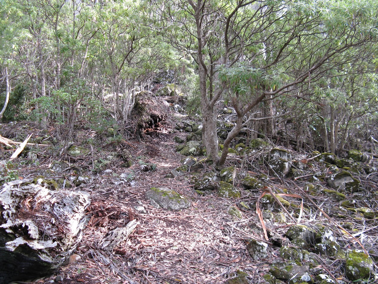
Previously we had walked from the Snake Plains track along a rough somewhat overgrown pad over hills covered with Melaleuca squamea to an unnamed hill above Neika. On the way a junction was met and today the walk was the reverse, starting at Neika and climbing the hill to see if the pad at the junction could be followed.
 |
| Route up to the top of the hill |
Well it could for a while and had some rock cairns and the occasional old bit of tape marking it, but just before it would have entered a wooded area, dense Bauera was met and eventually we had to give up and retrace our steps. Back at the junction we opted to head over the hill down to Levert Rivulet (previously Millhouse Creek on old map) and on to the Snake Plains track then to the Pipeline track to Neika.
On the way up from Neika a pad was noticed leading around the right hand side of a prominent rock area. Previously we had followed the pad down using the left side, but decided to see where this other one went, hoping it may provide a better way to the top of the rock ridge. However, despite coming upon old cut bushes, it petered out suddenly leaving us to with little option but to scramble up the slope to locate the previously used track. This was quite warm work, but it didn’t take very long to get back on the right course. It did leave us wondering why this other track was there and why it suddenly ended.
 |
| Cathedral Rock and Montagu from plains |
At lunch, on a pleasant and open rocky top in the forest, we heard a variety of songs from a Lyrebird accompanied by a lot of clicking sounds from another. On creepy along the track were able to get a view of them with feathers raised before they spotted us and fled in panic with a hissing type of alarm sound.
 |
| Route profile
|
 |
| Map of route |
Total distance including the diversion was 6.7k and took 4 hours including lunch. Height gain 360m.
For more photos click this link or the text below the image.
 |
| Plain where track emerges from the trees on skyline. |
Comments
Post a Comment